🎉 Up to 70% Off Selected ItemsShop Sale
1 / 3
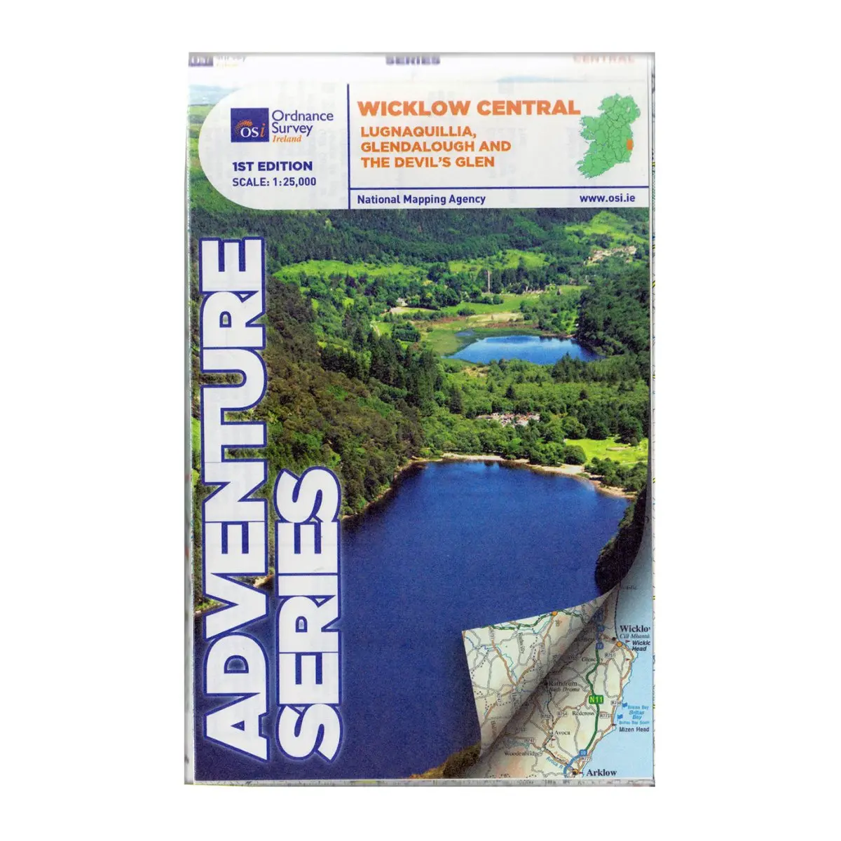
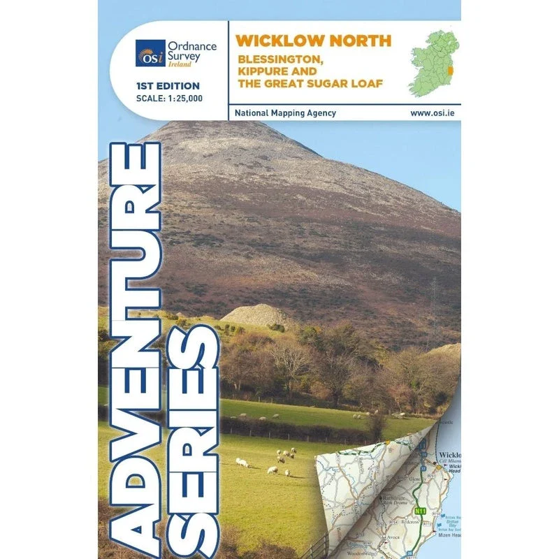
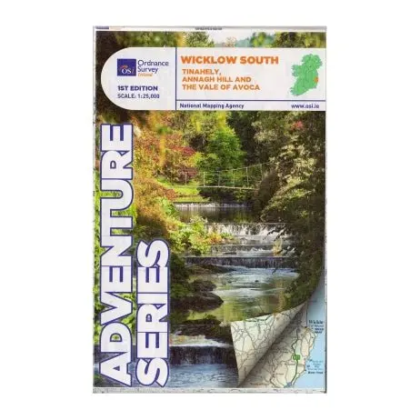
OSI Adventure Series 1:25K Map - Wicklow Way South
Explore the stunning landscapes of County Wicklow, Carlow, and Wexford with the OSI Adventure Series 1:25K Map - Wicklow Way South, perfect for hikers and adventurers.
Features
- Detailed topographic map at a 1:25,000 scale
- Coverage includes key roads (R752, R753, R747, R748) and a portion of the M11 at Arklow
- Displays railway through Vale of Avoca to Arklow town
- Highlights towns and villages: Avoca, Aughrim, Arklow (western section), Hacketstown, Knockananna, Tinahely, Shillelagh
- Features significant mountains and hills: Croaghanmoira, Cushbawn, Croghan, Slieve Maan (southern section), Carrickashane, Ballyteige, Stookeen
- Shows major rivers: Ow River, Aughrim River, Avoca River, Derreen River, Derry River
- Includes historical site: Avondale House and Forest Park
- Marks numerous trails and walks: Wicklow Way, Avondale Trails, Avoca Red Kite Trails, Sean Linehan Walk, Ciaran Shannon Walk, Mangans Loop, Ballycumber Loop, Kyle Loop, Tinahely Railway Walk, Tomnafinnogue
- Complements Discovery map 1:50,000 sheet 62
$13.99
OSI Adventure Series 1:25K Map - Wicklow Way South—
$13.99
Product Information
Product Information
Shipping & Returns
Shipping & Returns
Description
Explore the stunning landscapes of County Wicklow, Carlow, and Wexford with the OSI Adventure Series 1:25K Map - Wicklow Way South, perfect for hikers and adventurers.
Features
- Detailed topographic map at a 1:25,000 scale
- Coverage includes key roads (R752, R753, R747, R748) and a portion of the M11 at Arklow
- Displays railway through Vale of Avoca to Arklow town
- Highlights towns and villages: Avoca, Aughrim, Arklow (western section), Hacketstown, Knockananna, Tinahely, Shillelagh
- Features significant mountains and hills: Croaghanmoira, Cushbawn, Croghan, Slieve Maan (southern section), Carrickashane, Ballyteige, Stookeen
- Shows major rivers: Ow River, Aughrim River, Avoca River, Derreen River, Derry River
- Includes historical site: Avondale House and Forest Park
- Marks numerous trails and walks: Wicklow Way, Avondale Trails, Avoca Red Kite Trails, Sean Linehan Walk, Ciaran Shannon Walk, Mangans Loop, Ballycumber Loop, Kyle Loop, Tinahely Railway Walk, Tomnafinnogue
- Complements Discovery map 1:50,000 sheet 62