🎉 Up to 70% Off Selected ItemsShop Sale
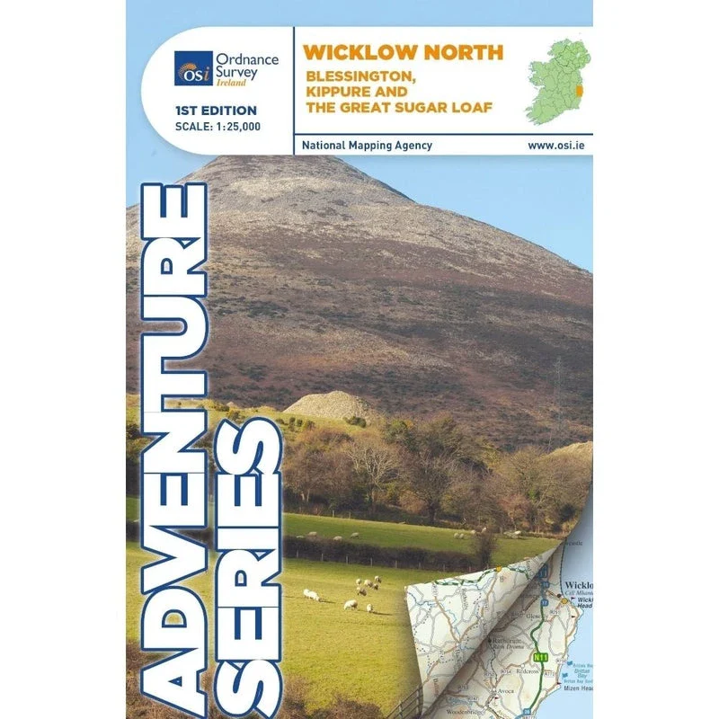
OSI Adventure Series 1:25K Map - Wicklow Way North
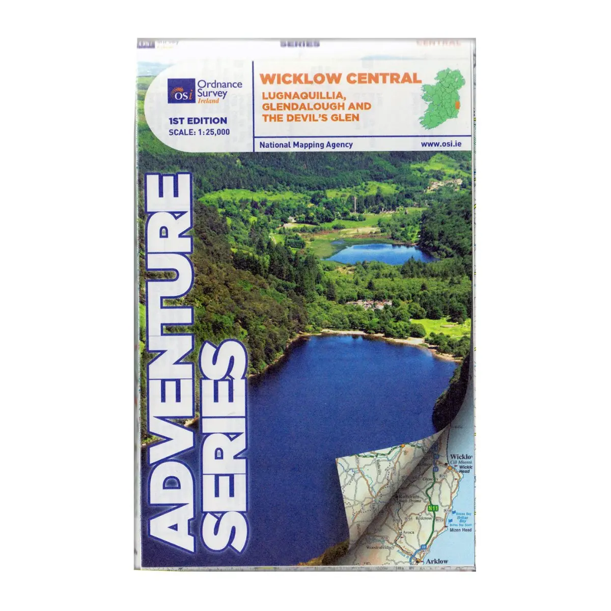
Discover the stunning landscapes of Wicklow Way North with the OSI Adventure Series 1:25K Map. This detailed map covers south County Dublin, part of County Kildare, and north County Wicklow, offering essential information for hikers and outdoor enthusiasts.
Features
- Detailed Topography: Covers key towns like Blessington and Bray, along with villages such as Enniskerry and Newtownmountkennedy.
- Mountain Information: Includes numerous mountains like Mullaghcleevaun, Kippure, and the Great Sugar Loaf.
- Waterways: Maps out the River Liffey, Dargle River, Dodder River, Vartry River, and more.
- Reservoirs and Lakes: Features Lough Bray Lower, Lough Bray Upper, Lough Tay, Pollaphuca Reservoir, and Glenasmole Reservoirs.
- Trail Information: Showcases various circular walks and trails including Forest Loop, Massey’s Estate Nature Trail, and the Wicklow Way.
- Roads and Highways: Displays major roads like the M50, M11/N11, and N81.
- Adventure Ready: Ideal for navigating the Wicklow Mountains and the start of the Dublin Mountains Way.
- High-Quality Print: Durable and easy to read with a landscape orientation.
$13.99
OSI Adventure Series 1:25K Map - Wicklow Way North—
$13.99
Product Information
Product Information
Shipping & Returns
Shipping & Returns
Description
Discover the stunning landscapes of Wicklow Way North with the OSI Adventure Series 1:25K Map. This detailed map covers south County Dublin, part of County Kildare, and north County Wicklow, offering essential information for hikers and outdoor enthusiasts.
Features
- Detailed Topography: Covers key towns like Blessington and Bray, along with villages such as Enniskerry and Newtownmountkennedy.
- Mountain Information: Includes numerous mountains like Mullaghcleevaun, Kippure, and the Great Sugar Loaf.
- Waterways: Maps out the River Liffey, Dargle River, Dodder River, Vartry River, and more.
- Reservoirs and Lakes: Features Lough Bray Lower, Lough Bray Upper, Lough Tay, Pollaphuca Reservoir, and Glenasmole Reservoirs.
- Trail Information: Showcases various circular walks and trails including Forest Loop, Massey’s Estate Nature Trail, and the Wicklow Way.
- Roads and Highways: Displays major roads like the M50, M11/N11, and N81.
- Adventure Ready: Ideal for navigating the Wicklow Mountains and the start of the Dublin Mountains Way.
- High-Quality Print: Durable and easy to read with a landscape orientation.